
Polk County launches web map of essential information

From Enterprise Staff
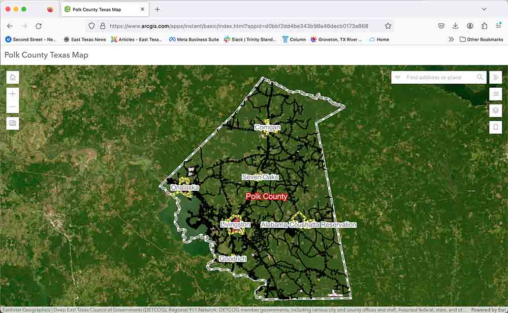
Polk County has launched an online web map available to the public that is updated nightly with current information. The development of the web map was an effort between the Deep East Texas Council of Governments GIS Department and Polk County Rural Addressing in the Office of Emergency Management.
The map is available on the Polk County Emergency Management website at http://polkcountyoem.com under county web map and is also available on the Polk County website at www://co.polk.tx.us under Quicklinks, County Maps.
The direct link to the Web Map is: https://www.arcgis.com/apps/instant/basic/index.html?appid=d0bbf2dd4be343b98a46decb0173a868
Related Articles
The following map layers may be toggled on and off under the “open layer list” tab: school district boundaries, fire hydrant locations and Polk County GIS data such as address points, access points (addresses far from roadway), points of interest, emergency services such as fire departments, law enforcement and ambulances, road and bridge commissioner precincts, justice of the peace precincts, voting precincts, municipal boundaries, road centerlines, driveways and county boundaries.
Clicking anywhere on the web map opens a multi-page window that shows information for each layer that is toggled on and may provide quick links to county sites. Residential address points contain no personal information. Commercial address points may display a business name (if known) and can be searched by address or business name.
One item to note is that emergency management does not address the cities of Livingston and Corrigan. However, most city addresses are available on the county web map. For questions about a Livingston address, call Livingston City Hall at 936-327-4311. For questions about a Corrigan address, call Corrigan City Hall at 936-398-4126.
Polk County, its staff and its member governments assume no liability for the accuracy of the GIS data. This map is for information purposes only and is not suitable for legal, engineering or surveying purposes. It does not represent an on-the-ground survey and represents only the approximate relative location of points and boundaries.
Follow Polk County OEM on Facebook for notifications and updates. Visit the website www.PolkCountyOEM.com. Register with AlertMePolkCounty to receive emergency alerts from the Office of Emergency Management by visiting https://polk.genasys.com/portal/en.
You are a guest
or post as a guest
Be the first to comment.
